

Enhanced Satellite Imagery
eSim is our patented system: satellite data analysed against the resonance signature of particular deposits, for accurate and specific data.
Resonance signature
Drag to turn the ground.
An illustrative satellite image of mountainous ground. Choosing a deposit scans the image against that deposit's signature and contours the response on the ground; scrolling cuts a section under the station and sounds down it to the body it finds.
A narrow, steeply dipping vein: little of it, a long way down.
In three months, with more precise data
It reduces exploration cost and completes the work in three months, at a much lower price but with more precise data, because it uses space photography. With deep X-ray penetration you can see kilometres beyond the surface, eliminating guesswork from exploration of oil, gas and condensate, water, diamond, iron, coal, gold and other minerals.
Tell us what needs solving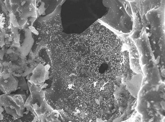
Further analysed at nano level
The data is analysed further at nano level to distinguish the conditions of ore base formation for various minerals and compositions, for the best results during beneficiation.
Reading the geomechanical, physical and mechanical characteristics of the rock at that scale shows the processes at work while the mineral formed, so we know exactly what the composition is, and the best way to minimise losses of the valuable product.
Sixteen institutes and factories, since 2008
Formed to support and coordinate large-scale mining and infrastructure projects in Indonesia, particularly the coal mining regions of Sumatra. The consortium still works as one.